.svg)

Transient Electromagnetics – TEM Survey Technology Guide
SkyTEM’s Knowledge Hub brings together research, project cases, and insights from our global work. Here you can explore peer-reviewed publications, technical papers, and field experiences that reflect our ongoing commitment to scientific integrity and innovation in airborne geophysics.
Groundwater, minerals, and geological structures stay hidden until you know how to look for them. Transient electromagnetics (TEM) gives you a reliable way to see what lies beneath the surface, without a single shovel touching the ground. At SkyTEM, we run TEM from the air, using helicopter and drone-mounted systems that fit almost any terrain, from farmland to mountains to frozen tundra.
What is transient electromagnetics?
Transient electromagnetics is a time-domain geophysical method that measures the electrical conductivity of the ground based on how quickly an induced signal fades away. The word "transient" refers to that fading signal, which only exists briefly after the equipment sends its pulse. Conductivity tells you what is underground, since materials like clay, saltwater, and metal ores conduct electricity very differently from dry rock or freshwater.
How does a TEM survey work?
A TEM survey works by sending a strong current through a transmitter loop and switching it off abruptly. That cutoff induces eddy currents in the ground, creating a secondary magnetic field that fades over time. A receiver records that fade, and the decay reveals the depth and conductivity of the layers underground.
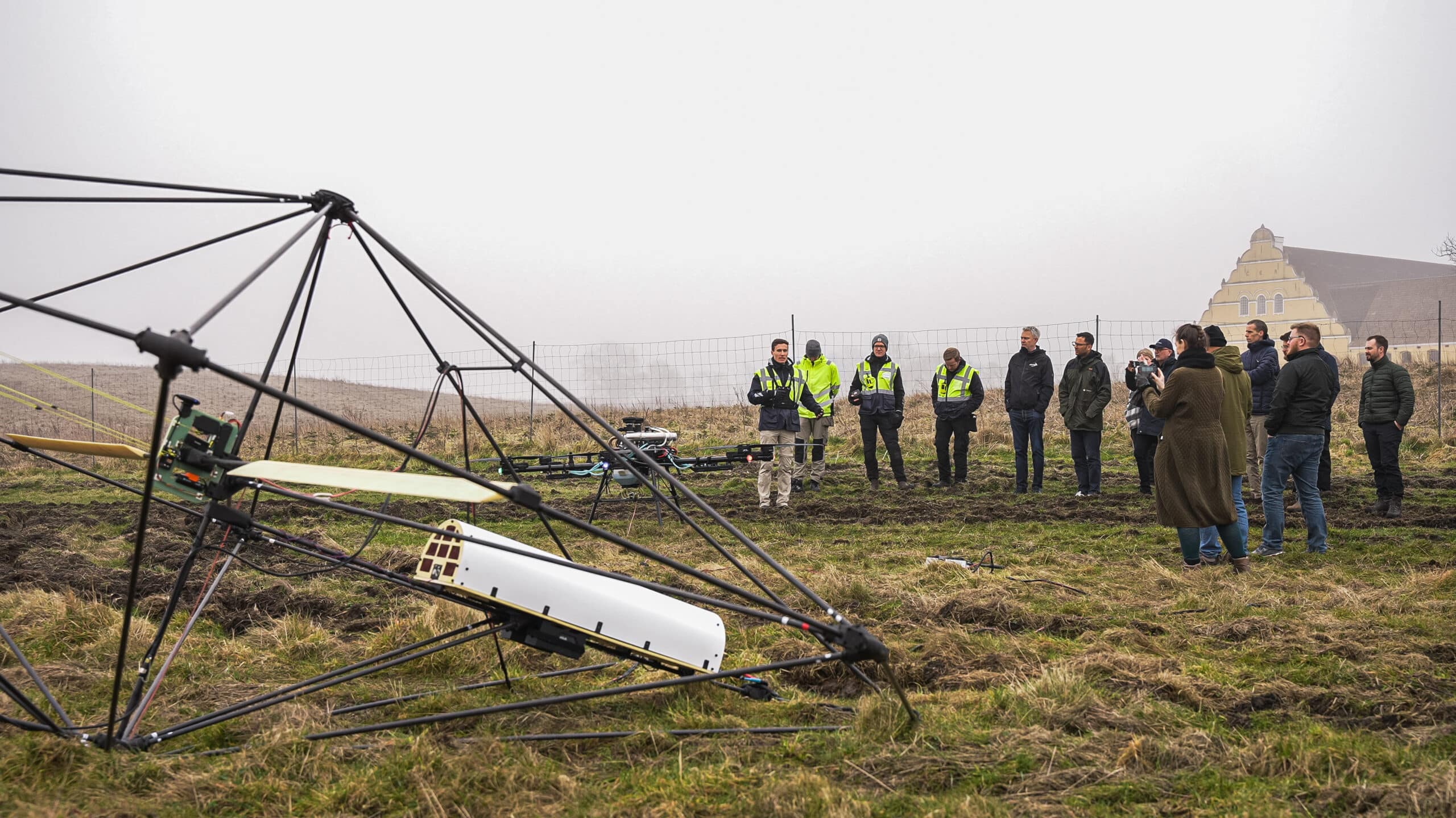
TEM can run from the ground or from the air. At SkyTEM, we work exclusively with airborne systems, mounting the setup beneath a helicopter or drone. This makes an airborne electromagnetic survey the practical choice for large or hard-to-reach areas.
What can transient electromagnetics detect?
Transient electromagnetics detects the difference between conductive and resistive material underground, which makes it useful across several fields.
Mapping groundwater and aquifer boundaries
Groundwater mapping is one of the most common applications, since TEM data can distinguish fresh aquifers from saline ones and help define aquifer boundaries and recharge zones. This makes it easier to plan drilling sites, protect vulnerable water sources, and track how aquifers change over time.
Locating mineral deposits
In mineral exploration, TEM helps locate conductive ore bodies, including sulfides and nickel deposits, often before any drilling begins. Because the method reveals both depth and conductivity, exploration teams can prioritize the most promising targets and reduce the number of costly test drills.
Characterizing environmental and geotechnical conditions
The same data can detect contamination plumes, map old landfill boundaries, and characterize ground conditions ahead of construction. This gives engineers and environmental teams a clearer picture of what lies underground before work begins, which lowers the risk of unexpected issues later in a project.
Why do companies choose TEM over other geophysical methods?
Companies choose TEM because it delivers reliable depth and conductivity data without touching or disturbing the ground.
- Works almost anywhere – A TEM survey can run over frozen ground, water, or paved surfaces, without being thrown off by the surface issues that affect some other electromagnetic methods.
- Deeper penetration – TEM reaches further into conductive ground than many alternative methods.
- Data you can build on – Quantitative results can be modeled into three-dimensional images of the subsurface, supporting decisions on where to drill, build, or start remediation work.
- Consistent quality – We calibrate every system in-house at SkyTEM, so data quality stays the same from project to project.
Talk to a SkyTEM specialist about your project
Whether you are mapping groundwater, exploring for minerals, or assessing a site before construction, we can help you scope the right TEM survey for your terrain and goals. Get in touch with a SkyTEM specialist to discuss your project.
Discuss your project with a SkyTEM specialist.
We’ll help scope the right airborne electromagnetic survey for your goals and terrain.