.svg)

Geotechnical Insight You Can Build On
From challenge to confidence in geotechnical design

Geological Mapping
SkyTEM provides a continuous "X-ray" of the subsurface to determine bedrock depth and topography. By distinguishing materials like sand, gravel, and clay based on resistivity, it creates detailed models of sediments and rock types. This large-scale mapping replaces blind interpolation between boreholes with precise, data-driven context—ideal for planning infrastructure geology.

Geohazard detection
SkyTEM is a critical tool for mapping hidden underground features that threaten structural integrity. The technology effectively locates sensitive clays, paleochannels, buried valleys, and fault zones that often cause uneven settling or structural failure. This non-invasive subsurface scan provides complete data coverage, ensuring no geological surprises remain hidden beneath the surface.

Risk mitigation
By identifying subsurface hazards early in the planning phase, engineers can proactively adjust designs or relocate infrastructure before construction begins. This data-driven approach eliminates costly remediation and prevents disastrous structural failures down the line. Our technology turns complex geological risks into clear, actionable insights for safer, optimized engineering projects.
Comprehensive subsurface insight for confident design
SkyTEM systems deliver continuous, high-resolution data from the near surface to depth. Our calibrated measurements provide consistent, repeatable results across large areas — replacing scattered borehole data with a complete 3D picture of ground conditions.
The result is a detailed, data-driven foundation for safer, faster, and more confident geotechnical decisions.


The SkyTEM technology was chosen because it is particularly well suited for large-scale groundwater mapping. The system can rapidly acquire consistent electromagnetic and magnetic data while flying at low altitude, producing high-resolution images of the subsurface from near the surface down to several hundred meters in depth. Compared to conventional ground-based surveys, SkyTEM can cover large regions quickly and non-invasively, providing a continuous picture of aquifer systems that would otherwise require years of investigation. Based on the quality of the data, the technical expertise of the personnel involved throughout the survey, and their ability to manage unforeseen events, SkyTEM is highly recommended for organizations seeking to obtain the best possible subsurface information and confidently define drilling targets for effective and efficient exploitation of groundwater resources.

For over 15 years, SkyTEM has been our trusted partner in enabling the acquisition of high-quality, perfectly calibrated airborne electromagnetic data across France—from the mainland to our overseas departments and territories.
Throughout our long-standing collaboration, SkyTEM has consistently pushed the boundaries of innovation, continuously improving both depth of investigation and near-surface resolution. This cutting-edge data has proven invaluable for a diverse range of critical applications, including raw materials prospecting and landslide risk assessment. Crucially, their technology has revolutionized our hydrogeological knowledge. By mapping groundwater resources with incredible precision, SkyTEM provides the insights we need to support vital sustainability initiatives and secure water resilience in a changing climate.

Throughout the Brokilde project, SkyTEM demonstrated strong operational performance, effectively managing the logistical challenges of the Danish landscape while delivering high quality geophysical mapping. The SkyTEM Diamond system provided high-resolution data from the nearest surface (as shallow as 1 meter) down to depths of 200 meters, offering the necessary data for an update of the geological model in the catchment area at Brokilde. Combined with the professional delivery of digital datasets and reporting, SkyTEM and Ramboll have provided data for further analysis that are needed for renovating Brokilde well field.


We are pleased to acknowledge the exceptional contribution of SkyTEM Surveys ApS to our recent airborne electromagnetic (AEM) survey initiative in Maun, Botswana. Contracted by Kemcore Botswana (Proprietary) Limited, SkyTEM undertook an extensive survey comprising approximately 6,100 line kilometres, with a line spacing of 1,000 metres and detailed infill lines at 500 and 250 metres respectively.
SkyTEM’s operational efficiency and deep technical expertise were evident throughout the project, delivering highly accurate geophysical data that proved instrumental in mapping subsurface aquifers, including brine-rich formations. This work significantly supported our sustainable groundwater management efforts and informed strategic decisions in water sourcing and mineral extraction.SkyTEM’s professionalism and commitment to excellence make them a highly recommended partner for any geophysical exploration campaign.

In February 2021, SkyTEM Surveys ApS carried out a helicopter-borne EM/MAG geophysical survey near Ghanzi, Botswana, using their state-of-the-art SkyTEM312FAST system. The project comprised of 2,380 kilometres with ultra-precise 200-metre line spacing, this surveying mission targeted copper and silver deposits in the heart of the legendary Kalahari Copper Belt, reaching depths of up to 400 metres beneaththe surface.
From data acquisition to the production of maps and reports, every aspect of the SkyTEM survey was executed with outstanding safety and efficiency. The high-resolution SkyTEM312FAST data results not only lived up to expectations - it redefined them, confidently delineating our mineral targets.


SkyTEM Surveys ApS successfully completed a regional helicopter-borne electromagnetic (AEM) and magnetic geophysical survey over the Company’s tenement package near Ghanzi, Botswana. Despite exceptionally challenging conditions, including a record wet season and the impacts of COVID-19, SkyTEM delivered high-quality results with professionalism and resilience.
The project comprised 18,970 line kilometers using the advanced SkyTEM312FAST system and the survey objective was to map targeted copper/silver prospects across the Kalahari Copper Belt in Botswana ranging from surface to approximately ±400 metres. The scope of the work included acquisition, processing, and delivery of comprehensive datasets, reports, and maps.
Systems for
geotechnical investigations
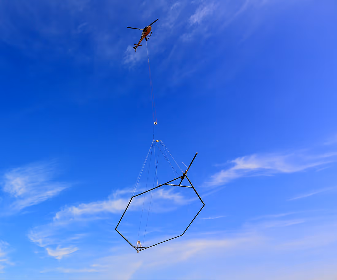
For infrastructure, construction, and environmental assessments, the SkyTEM304 system provides the high-resolution near-surface data engineers need to understand site conditions with confidence.
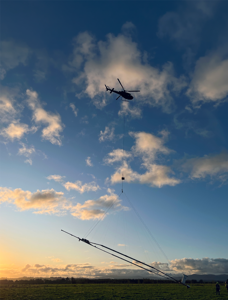
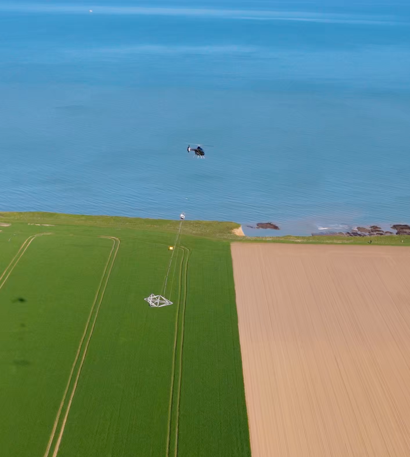
The revolutionary, fully airborne system operated by helicopters or drones. Exceptional near-surface resolution from the top 1 meter. Ideal for mapping closer to infrastructure.
Its precise data help reduce uncertainty, optimize design, and support safe, efficient project execution — all without disturbing the terrain.
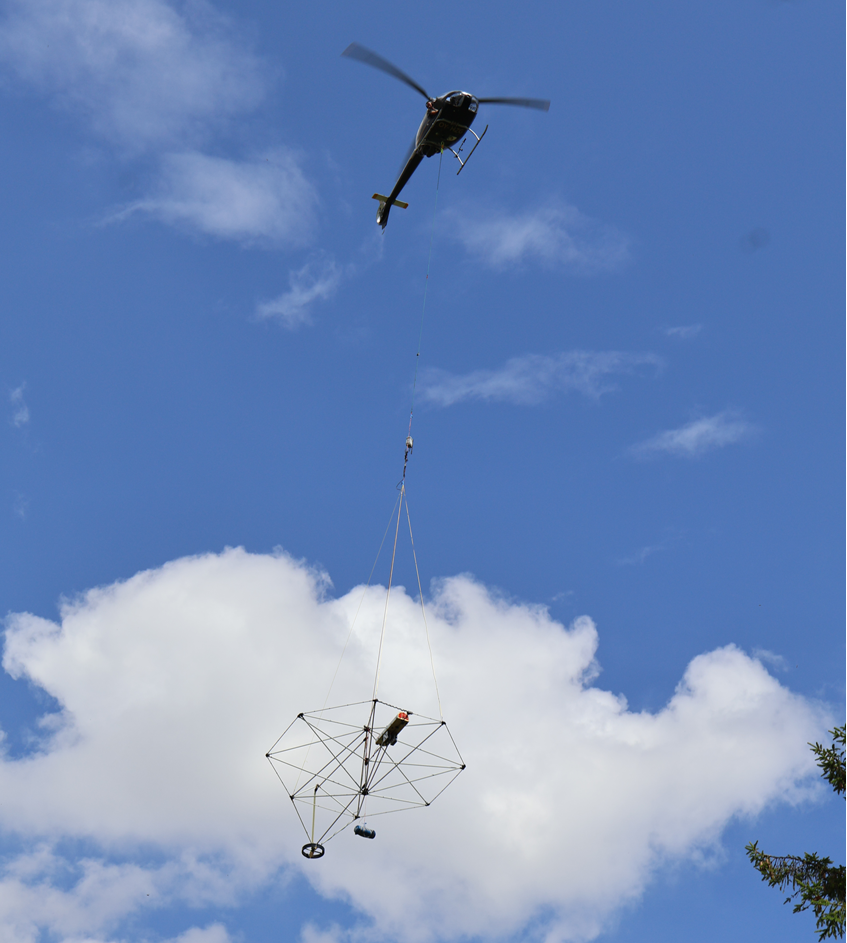
Extraordinary near-surface resolution and fast current turn-off deliver accurate data from the top few meters to depths of 200 m. Fully calibrated for accurate, seamless mapping directly comparable to borehole data—ideal for precise detail.
Discuss your project with a SkyTEM specialist.
We’ll help scope the right airborne electromagnetic survey for your goals and terrain.