.svg)

Mineral Exploration with Deeper Clarity
From challenge to confidence in mineral exploration

Direct detection of conductive ore
SkyTEM identifies massive sulfide deposits, such as nickel, copper, and VMS, by detecting their high electrical conductivity. The system’s high signal-to-noise ratio allows it to "see" through conductive cover to pinpoint the exact location and shape of metallic conductors. This precision allows exploration teams to prioritize the most promising drill targets immediately.

Structural mapping and mineral systems
Our technology maps the host rocks and structural features, such as faults and shear zones, that control mineral deposition. By visualizing the 3D geometry of rock units, geologists can identify the "traps" where minerals are likely to accumulate. This provides a comprehensive geological context that surface mapping and limited drilling cannot capture.

Depth-to-basement and cover analysis
SkyTEM accurately maps the thickness of overburden or volcanic cover to define the topography of the underlying basement rock. Understanding this depth is essential for calculating the economic viability of a project and designing efficient drilling programs. This is a critical advantage in exploration frontiers where valuable minerals are hidden deep underground.
High-quality data for confident exploration
SkyTEM systems provide calibrated airborne electromagnetic data that define geological structures, conductors, and alteration zones critical to mineral exploration.
Our dual-moment systems capture both shallow detail and deep subsurface responses in a single flight, producing accurate, repeatable results that guide better targeting decisions.
The result is fast, reliable insight that supports cost-efficient drilling and accelerates mineral exploration.


The SkyTEM technology was chosen because it is particularly well suited for large-scale groundwater mapping. The system can rapidly acquire consistent electromagnetic and magnetic data while flying at low altitude, producing high-resolution images of the subsurface from near the surface down to several hundred meters in depth. Compared to conventional ground-based surveys, SkyTEM can cover large regions quickly and non-invasively, providing a continuous picture of aquifer systems that would otherwise require years of investigation. Based on the quality of the data, the technical expertise of the personnel involved throughout the survey, and their ability to manage unforeseen events, SkyTEM is highly recommended for organizations seeking to obtain the best possible subsurface information and confidently define drilling targets for effective and efficient exploitation of groundwater resources.

For over 15 years, SkyTEM has been our trusted partner in enabling the acquisition of high-quality, perfectly calibrated airborne electromagnetic data across France—from the mainland to our overseas departments and territories.
Throughout our long-standing collaboration, SkyTEM has consistently pushed the boundaries of innovation, continuously improving both depth of investigation and near-surface resolution. This cutting-edge data has proven invaluable for a diverse range of critical applications, including raw materials prospecting and landslide risk assessment. Crucially, their technology has revolutionized our hydrogeological knowledge. By mapping groundwater resources with incredible precision, SkyTEM provides the insights we need to support vital sustainability initiatives and secure water resilience in a changing climate.

Throughout the Brokilde project, SkyTEM demonstrated strong operational performance, effectively managing the logistical challenges of the Danish landscape while delivering high quality geophysical mapping. The SkyTEM Diamond system provided high-resolution data from the nearest surface (as shallow as 1 meter) down to depths of 200 meters, offering the necessary data for an update of the geological model in the catchment area at Brokilde. Combined with the professional delivery of digital datasets and reporting, SkyTEM and Ramboll have provided data for further analysis that are needed for renovating Brokilde well field.


We are pleased to acknowledge the exceptional contribution of SkyTEM Surveys ApS to our recent airborne electromagnetic (AEM) survey initiative in Maun, Botswana. Contracted by Kemcore Botswana (Proprietary) Limited, SkyTEM undertook an extensive survey comprising approximately 6,100 line kilometres, with a line spacing of 1,000 metres and detailed infill lines at 500 and 250 metres respectively.
SkyTEM’s operational efficiency and deep technical expertise were evident throughout the project, delivering highly accurate geophysical data that proved instrumental in mapping subsurface aquifers, including brine-rich formations. This work significantly supported our sustainable groundwater management efforts and informed strategic decisions in water sourcing and mineral extraction.SkyTEM’s professionalism and commitment to excellence make them a highly recommended partner for any geophysical exploration campaign.

In February 2021, SkyTEM Surveys ApS carried out a helicopter-borne EM/MAG geophysical survey near Ghanzi, Botswana, using their state-of-the-art SkyTEM312FAST system. The project comprised of 2,380 kilometres with ultra-precise 200-metre line spacing, this surveying mission targeted copper and silver deposits in the heart of the legendary Kalahari Copper Belt, reaching depths of up to 400 metres beneaththe surface.
From data acquisition to the production of maps and reports, every aspect of the SkyTEM survey was executed with outstanding safety and efficiency. The high-resolution SkyTEM312FAST data results not only lived up to expectations - it redefined them, confidently delineating our mineral targets.


SkyTEM Surveys ApS successfully completed a regional helicopter-borne electromagnetic (AEM) and magnetic geophysical survey over the Company’s tenement package near Ghanzi, Botswana. Despite exceptionally challenging conditions, including a record wet season and the impacts of COVID-19, SkyTEM delivered high-quality results with professionalism and resilience.
The project comprised 18,970 line kilometers using the advanced SkyTEM312FAST system and the survey objective was to map targeted copper/silver prospects across the Kalahari Copper Belt in Botswana ranging from surface to approximately ±400 metres. The scope of the work included acquisition, processing, and delivery of comprehensive datasets, reports, and maps.
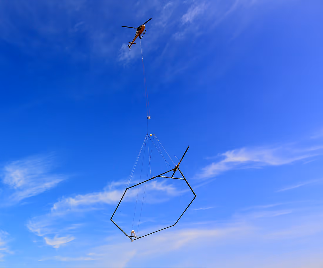
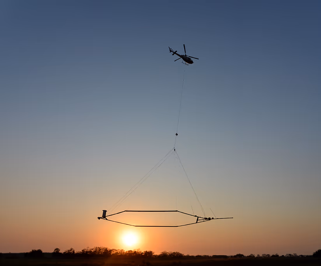
Systems for
mineral exploration
SkyTEM’s systems deliver reliable, high-quality data from near-surface mapping to deep conductor detection — supporting every stage of mineral exploration.
From early-stage regional surveys to advanced target definition, SkyTEM systems support efficient, data-driven mineral exploration worldwide.
Extraordinary near-surface resolution and fast current turn-off deliver accurate data from the top few meters to depths of 200 m. Fully calibrated for accurate, seamless mapping directly comparable to borehole data—ideal for precise detail.
Economic mapping with dual-moment data. Delivers deep penetration alongside near-surface detail, providing accurate data from the top few meters to depths of 500 m—well suited for regional mineral and groundwater exploration.
High-power MultiMoment data combines extraordinary near-surface resolution with a massive depth of investigation. Highly economical, it delivers accurate data from the top few meters to depths of 500 m.
Next-generation MultiMoment data blends exceptional deep exploration with high near-surface resolution. Aerodynamically superior and lightweight, it is verified down to depths of 700 m with an advanced primary field compensation technique for unmatched deep mapping accuracy.
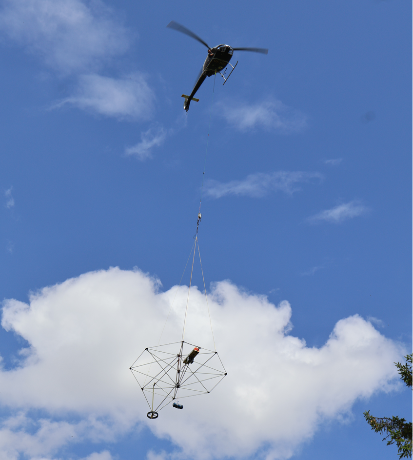
The revolutionary, fully airborne system operated by helicopters or drones. It delivers exceptional near-surface resolution from the top 1 meter down to depths of 150 meters, making it ideal for mapping closer to infrastructure in groundwater, geotechnical, and mining exploration.
Discuss your project with a SkyTEM specialist.
We’ll help scope the right airborne electromagnetic survey for your goals and terrain.